geotract.org
System of record for every acre you own — or might.
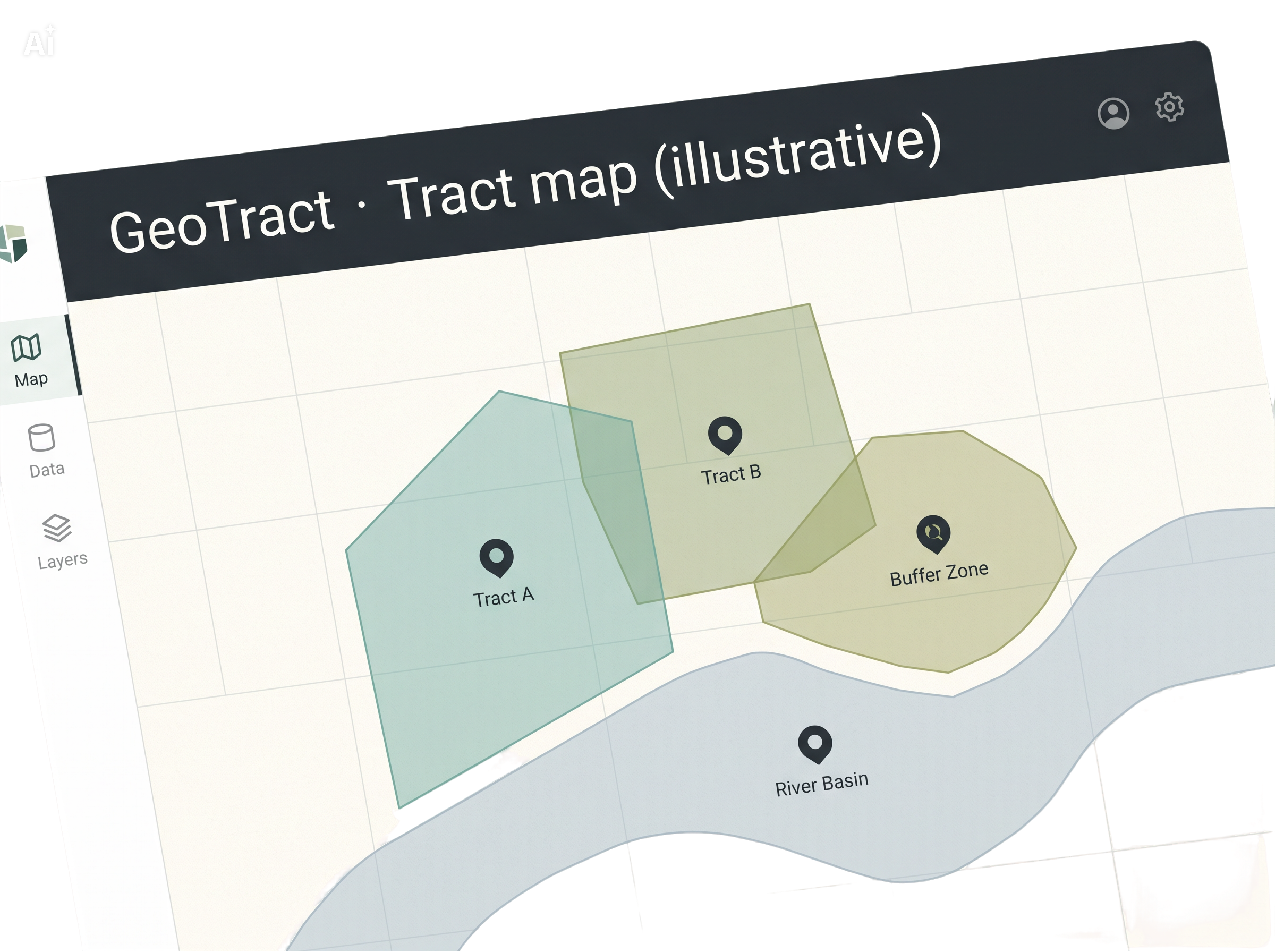
GeoTract combines a CRM, a field service platform, and a GIS — with the map as the primary interface, not a bolted-on report.
Five systems to answer one question
What have we done on this tract this year? Today that answer lives in disconnected silos.
| System | Purpose |
|---|---|
| Desktop databases (e.g. Access) | Acquisitions tracking |
| Document management / ECM | Records retention |
| Public web forms / portals | Landowner and public intake |
| Shared network folders | Workflow routing |
| Spreadsheets and PDFs | Nearly everything else |
| Enterprise GIS | The map (disconnected from the above) |
The 40% manual-time reduction target is code for: stop making staff the integration layer.
Three modules. One lifecycle.
Acquisition, management, and disposition — from first inquiry to permanent institutional memory.
Acquisition
Should we buy this land, and how do we close on it?
From landowner application to closing — prospectus, ranking, memos, and due diligence without re-keying.
Explore Acquisition →Management
We own it; now what do we do with it, every year, forever?
Multi-year plans on the map, scheduled tasks, GIS write-back, timber, and cost-per-acre as a query — not a spreadsheet.
Explore Management →Disposition
This parcel no longer serves the mission; how do we responsibly divest?
Surplus and swap candidates with reverse acquisition flow — and permanent institutional memory after sale.
Explore Disposition →“The map is the interface, not a feature.”
Built for how land teams actually work
From the field tablet to the board packet — same underlying truth.
Open core. Commercial enterprise. Honest AI.
Open core
The tract registry, map shell, work orders, and planning are open source and independently deployable.
Enterprise modules
Acquisition, disposition and board portal, documents, field operations, reporting, and finance/GIS/signature adapters — licensed per deployment on top of the core.
AI assist
Extraction, summaries, briefs, and drafting — always draft-with-review, with provenance recorded on every accepted draft. Never a decision.
Infrastructure for stewardship at scale
Manage more land, better, with the same staff. Institutional memory stays permanent. A field crew lead and a governing-board member see the same tract — in ways appropriate to each.
Built for conservation agencies, land trusts, and public land stewards of any size — not a single geography or organization type.